“My only regret in life,” says John The Map, “is saying no to a ménage à trois with two Norwegian lesbians in 1987.”
It is 10am and we’re parked outside his cottage on the edge of Sligo town. He tells me this with the solemnity of a confession, then wheezes into laughter so violent he spills his tea onto the passenger seat. I have known him for roughly six minutes.
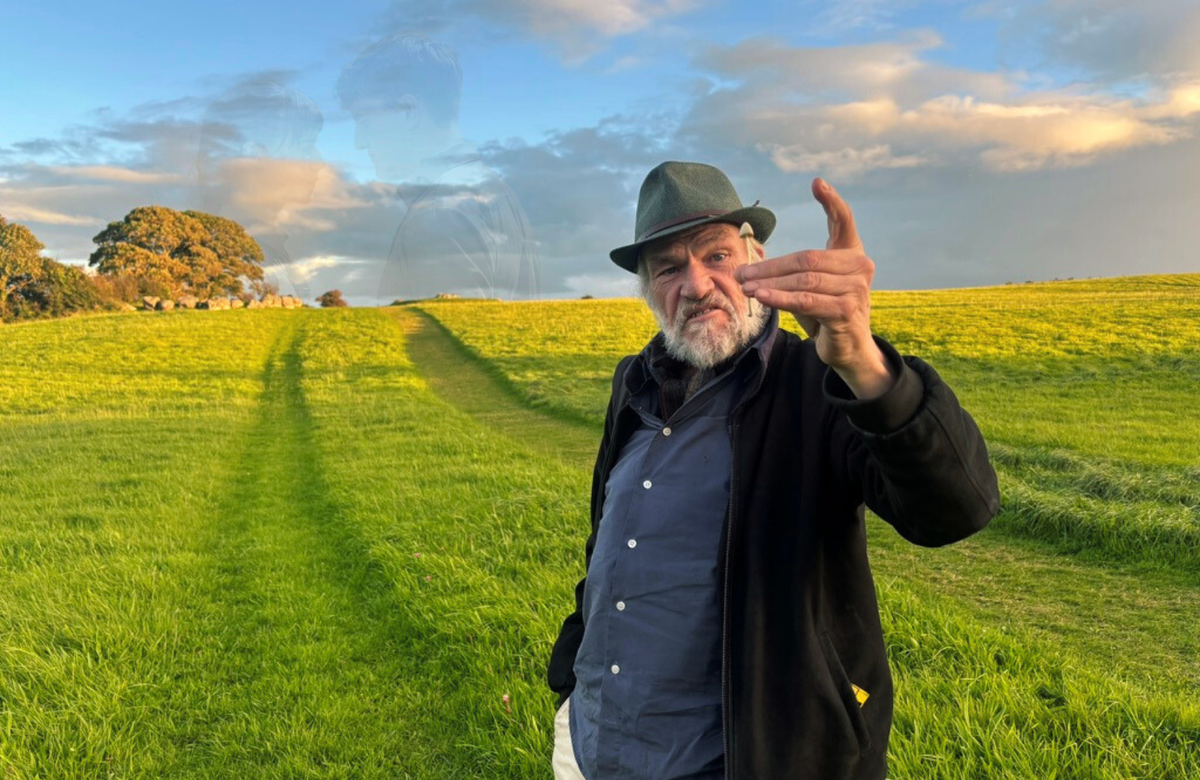
John Callanan — cartographer, philosopher, hitchhiker, local celebrity — is the man I’ve come to find. Born in Harrow, the brother of one of my dad’s schoolmates, he repatriated to the land of his parents two decades ago.
Now knocking 70, he has the face of a garden gnome — a sharp chin, a nose like a medieval gargoyle, and eyes that twinkle with mischief. He farts constantly, blaming it on “creative pressure”, and seems to live on a diet of tea, cigs and stories.
John isn’t just a raconteur with a colourful past; in Sligo, he’s an unofficial cultural institution. His nickname comes from his Blue Yonder-era website: johnthemap.co.uk. What began as (and still is) a hand-built directory of local gigs and trad sessions has evolved into a full-blown encyclopaedia of the county.
Locals consult it the way other towns consult tide charts. Musicians swear by it. Pub landlords mutter about it. Tourist-office volunteers pretend they don’t rely on it.
John makes his living selling hand-measured maps of Sligo — gorgeous, sprawling things annotated with notes and folklore. “There’s not an inch of this county I haven’t mapped,” he says, patting a battered satchel full of his latest drafts.He can’t drive, and never bothered to learn. “Why would I?” he says. “The thumb works perfectly well.”
John gets everywhere by hitchhiking, thumb out in the drizzle. Someone always stops.
County Sligo is the least-visited stop on the Wild Atlantic Way, that recently christened coastal road hugging the west coast of Ireland. When Sligo makes it into travel guides these days, it’s less for its cliffs or pubs than for Normal People.
Since the BBC adaptation of Sally Rooney’s novel, the town has become a kind of soft-focus Lourdes for the literate and mildly heartbroken. There was even a Normal People tour — Strandhill Beach, the school gates, the bench where Connell sighed attractively — until the guide inconveniently died. (A replacement has just been found.)
Still the pilgrims come. Misty-eyed Americans clutching Ancestry.com printouts. Londoners from N16 shuffling around in Birkenstocks. They come quoting Sally Rooney and pretending to like Kneecap. They leave posting monochrome pints of Guinness captioned “the real Ireland”.
I didn’t come for that. I came to find the real Sligo: the one sketched out on John’s maps.
“Don’t bother with that satnav thing,” says John, removing my phone from the dock and throwing it on the back seat of my rental car. “You’ve got the best map in Co. Sligo sitting right here.”
There’s a pause. “Right, now, which way is it?”
Our first stop is Mullaghmore Head, on the far northwestern tip of County Sligo — a great basalt knuckle jutting into the Atlantic. Ahead, Classiebawn Castle sits atop the sheep-dotted headland like a villain’s lair.
Register for free to read this article.